


By the Rivers of Kobe
By the Rivers of Kobe
From Kobe Port to Nagata via various rivers

Rainy season is here. The rapidly-warming, but not yet humid days of late spring have given way to skies the colour of old Japanese office furniture, the constant threat of mould, and a ceaseless dripping from the balcony.
At this time of year, the rivers of urban Japan swirl within their concrete confines, bending the wingnut trees, that somehow grow from their bottom, almost to breaking point. The orange lights flash — don’t walk along the riverbed! But the steps lead straight down into the raging torrent, so no-one would even think of it.
I hadn’t planned on walking along the rivers. With rainy season cutting out most feasible hiking days, I had a half-Saturday of fine weather after work to do a quick hike. I had gone both ways along the coast from Kobe Port, so that option was out. Instead, I chose to go straight up into the mountains behind Kobe.


By the time I had walked up the gentle slope and reached the foot of the mountains, I was already a sweaty mess. A river gushed with yesterday’s rain, still draining off the hills, and ran between, and over, diamond-shaped granite, following the base of the mountains.


I took the chance, and followed it downhill. The Ujigawa was pretty — cherry-tree-lined, concrete-that-looks-like-wood railings, stone-rather-than-concrete sides, nice little parks. For a while, it slowly dropped, parallel with the mountains, then, with a broad, sweeping curve, it turned south, towards the sea. The channel deepened, still stone-sided, then deepened further, now dark concrete, and suddenly it came upon a barrier, where the resulting silt created a Japanese urban version of The Barrens from Stephen King’s “It”. On every side, water rushed through grilles and into tunnels, Georgie could be lost for a very long time in here.
I abandoned this river as a lost cause, and turned west again to find a new one. I eventually found the Tennodani River, once again coursing out from the mountains, this time the waterfalls and rock pools of its exit were visible. Just next to this river was the Minatoyama onsen, set in a pale yellow building above the concrete channel — no stone here. This river was less prettified than the Ujigawa, there were cherry-tree-lined sections of a well-managed riverbank, but there were also roughter sections where the big-leafed mallotus and Chinese elm had taken over.


I followed the Tennodani River down, until I got stranded in a triangular park between the Tennodani and another river. The park had a monument to the Great Hanshin Flood of 1938 (it happened in early July, at the tail end of the rainy season), which caused over 600 deaths.


At this point, the Tennodani River becomes the Minato River, and curves away to the west, before entering the Minato River Tunnel. But, it wasn’t always so. The old Minato River used to flow south-east to around where I started my walk near Kobe Port. Now, with the tunnel, it was diverted away from the all-important factories near the port, and instead around the not-so-important slum districts north of the factories. It also removed a large barrier that separated east and west Kobe, and reduced the amount of silt entering Kobe harbour.


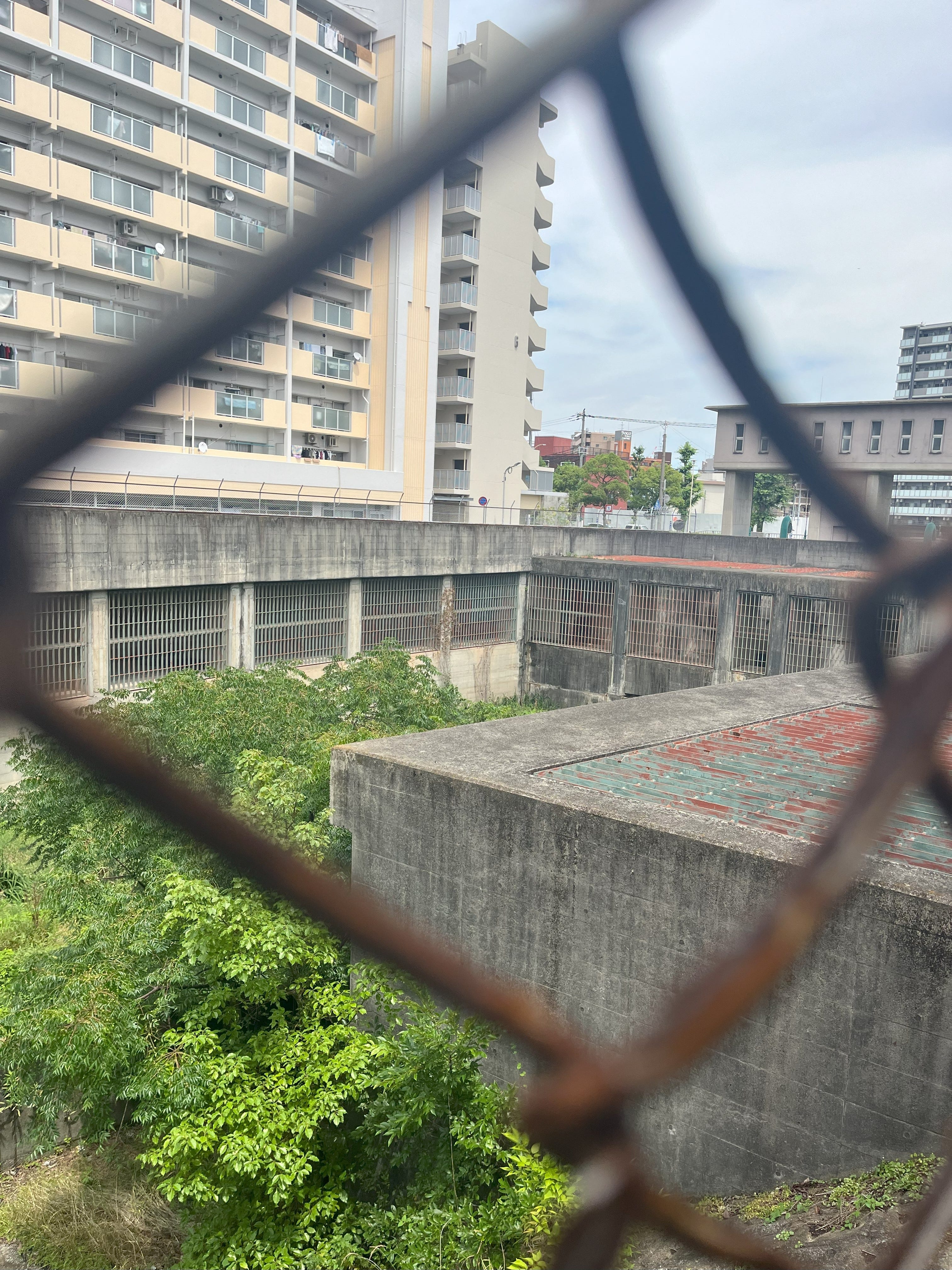
I tried to guess where the tunnel would come out by trying to walk in a straight line above it. This failed miserably, and I ended up way above the Minato River. I had a nice view, all the way down to Osaka Bay. I rediscovered the river, now in an extremely deep concrete trench, flowing through the suburb of Nagata. On the south side lie the former slums of Gobancho and Rokubancho, still with some crowded old houses with washing-drying verandas on their roofs. The old houses that remain are separated by weed-filled lots, the gaps where houses were shaken or burned to the ground in the Great Hanshin Earthquake of 1995. Slowly, these lots are being filled by new apartment buildings, and the older buildings are being torn down and replaced by new apartment blocks too. Gentrification is happening, slowly surrounding a fortified black house with a permanent police presence outside.


When the weather improves, I hope to resume the walk around the Inland Sea under the deep blue skies and billowing cumulonimbus of late summer.
What are these flashing orange lights you speak of? The Kamo River has some poor sod who has to get up early and put out the old 立入禁止 sawhorses when the banks are about to burst...
Great opening.