


Suma and Susuki
Following the Chimori River in western Kobe from source to sea

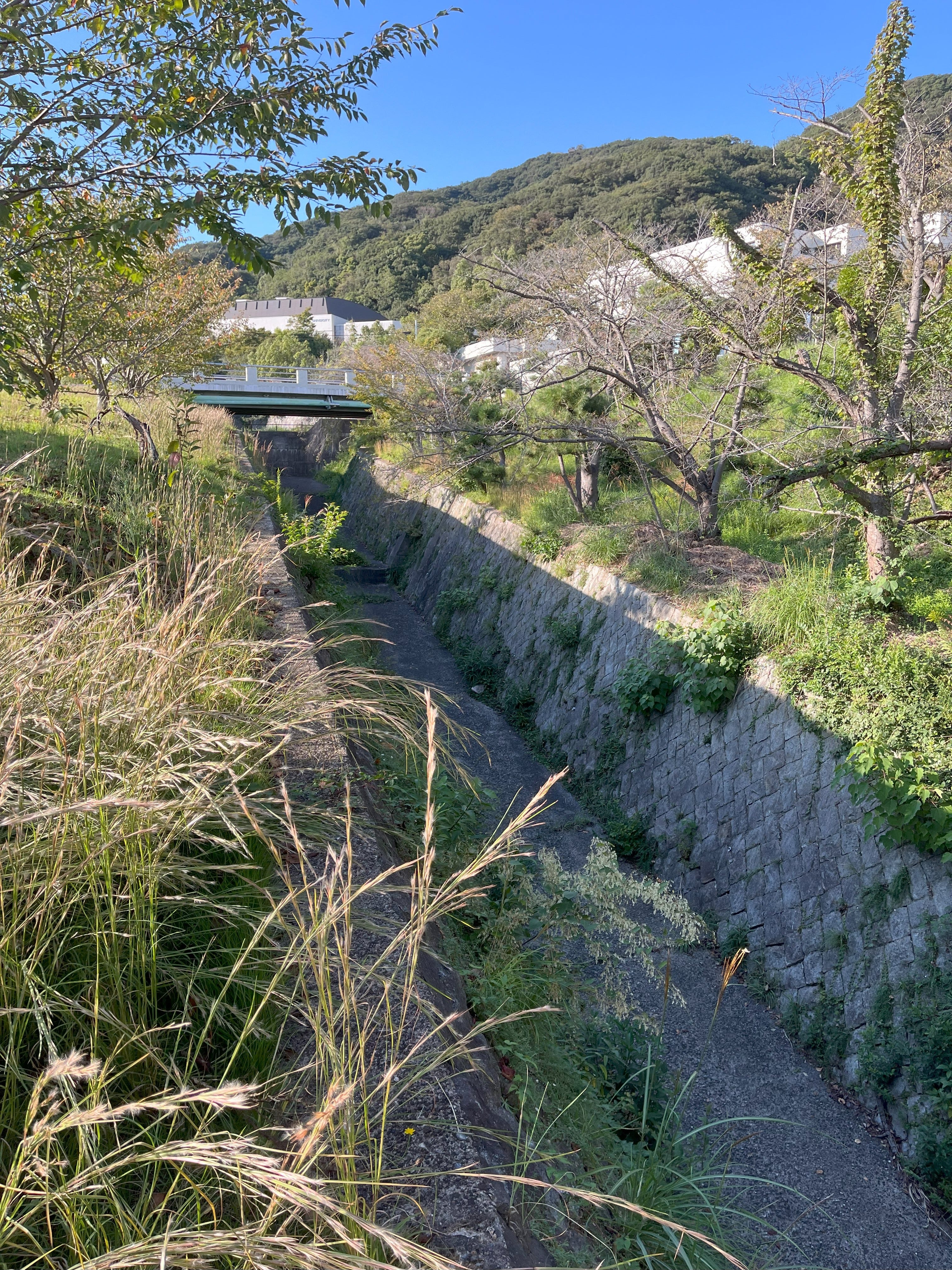
As we head westwards from the centre of Kobe, towards the Akashi Straits with Awaji Island on the other side, the mountains get closer and closer to the sea, shrinking the coastal plain further and further until the houses and villas of Shioya balance precariously on the hillsides right over the water. The rivers are shrinking too. Each one is shorter, more culvert-like, and the Chimori River is little more than a piddling drain. In fact, the recent dry weather has left the upper reaches of the Chimori River without even a piddle — it’s bone dry.
The Chimori River starts on an inaccessible mountainside somewhere between Myohoji and the new housing development of Takakuradai. Its current kanji characters are “thousand forest” — 千森, but a map from around 1900 has a different set of kanji — 知守, “knowledge protection”. It’s ironic, because on the 1900 map, the river runs mainly through thick forest, whereas now it’s running through, and under, housing estates.

In the park below the source of the Chimori, the leaves on the cherry trees were falling with a papery rustle. The spider lilies were still clinging on, the edges of their petals fading to pink and curling white, like the withered ash of burned parchment. From the side of the culvert where the Chimori would flow in wetter times, the susuki grass heads are emerging from their green sheaths, golden with just an edge of silver now.


My legs swing down the pavement, easier now to walk faster in the cooler weather. I pass the campus of Kobe Women’s University. From the entrance gate, the security guard eyes me suspiciously, but is distracted by a group of students, and I take the chance to scramble over a slope to look at the Chimori River. It’s empty. Just a dry culvert with one small puddle of water from a side drain.
But then, as the valley squeezes in, water appears from thickly-forested side streams, and forms a pool behind a mini dam. Now we have a river!
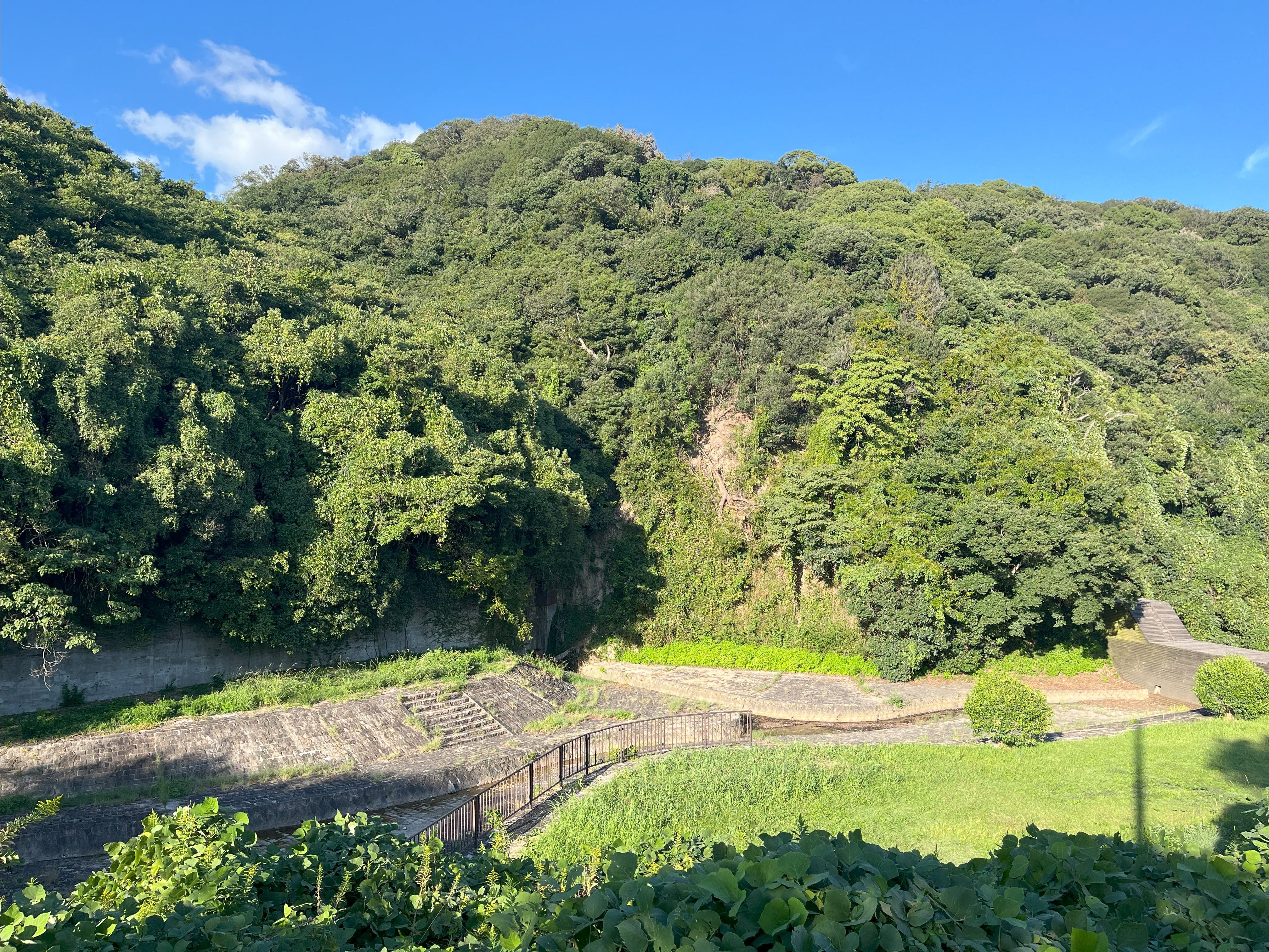
The more natural state of the river doesn’t last long. The car park for Suma Rikyu Koen, a park and botanical garden on the site of a former imperial villa, puts the river back into a straight pebble-lined channel, with carefully-placed rocks between neatly-planted privet trees.
And then, it disappears beneath the roadway, never to be seen again, until it’s almost at the sea.

There’s still about an hour before Suma Rikyu Koen closes, so I enter and wander around. There are lily-covered pools, mini-waterfalls, and a long fountain-lined pool, all fed by the Tenjo River, which in turn flows into the Myohoji River I walked last time. The momiji maple leaves are already turning red on the upper branches.


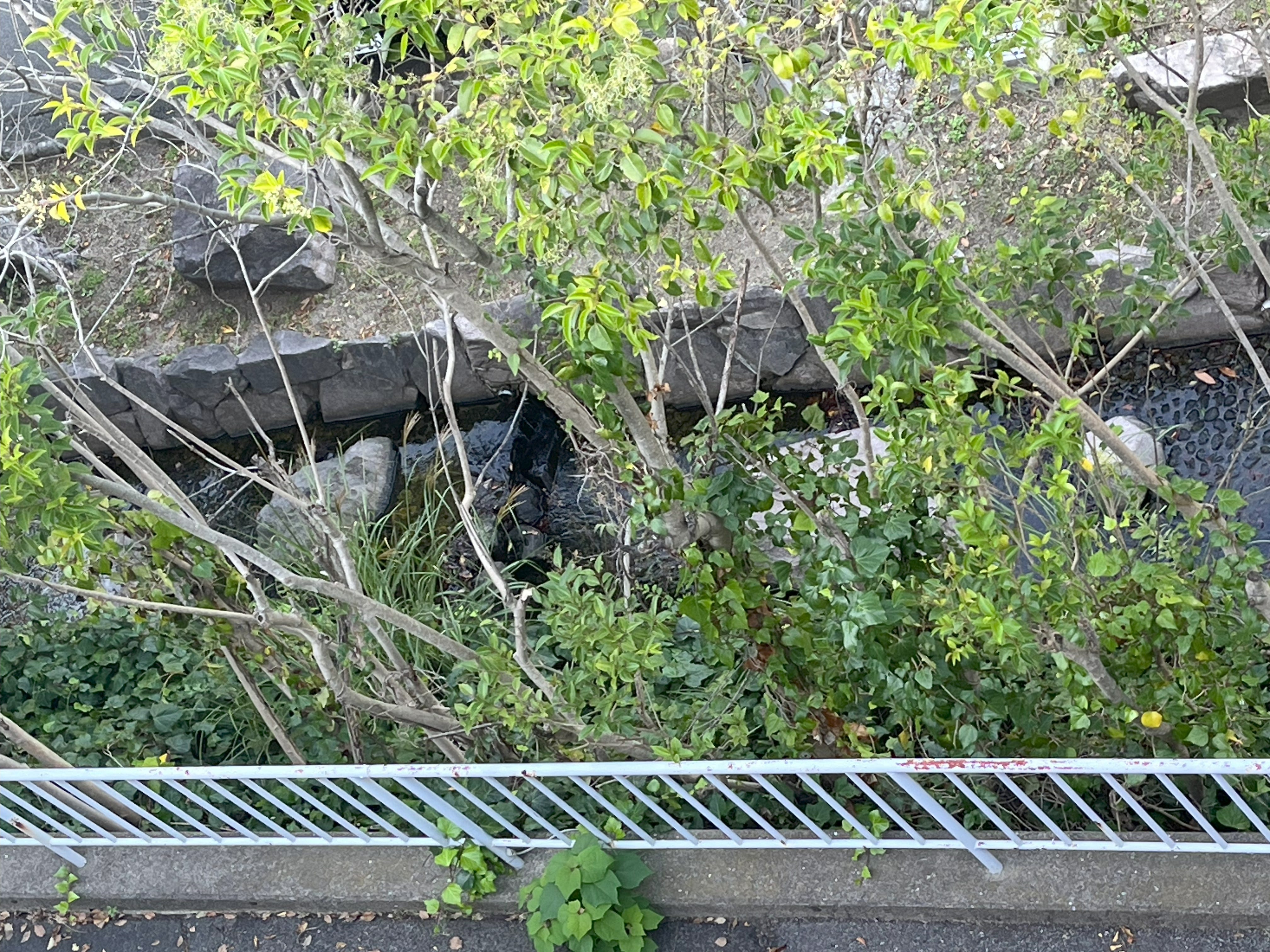
Leaving the park, I follow the now hidden river along a road that bears its name. The river may be hidden, but its waters appear in a pool near to Suma Temple. The area around the pool once had several hotels and an entertainment district, but tastes change, the beach became more popular, and the decline in importance of the old coastal road killed off the entertainment district.


Now, it was a steep drop to the beach, and the other end of the Chimori River. A classic Japanese view awaited at the bottom — a level crossing, with the sea beyond.


From under the railway tracks, the Chimori River reappeared, flowing ever so slowly out into Osaka Bay, swilling back and forth with the dampened waves of the harbour.


Julian- What I appreciate about this is the wonderful step by step photographic narration that makes it feel like the reader is there with you. Thanks for sharing this.
Thanks for the walk. There's something magical when a river reaches its end and dives into the sea. Even such a little mistreated river like the Chimori.